
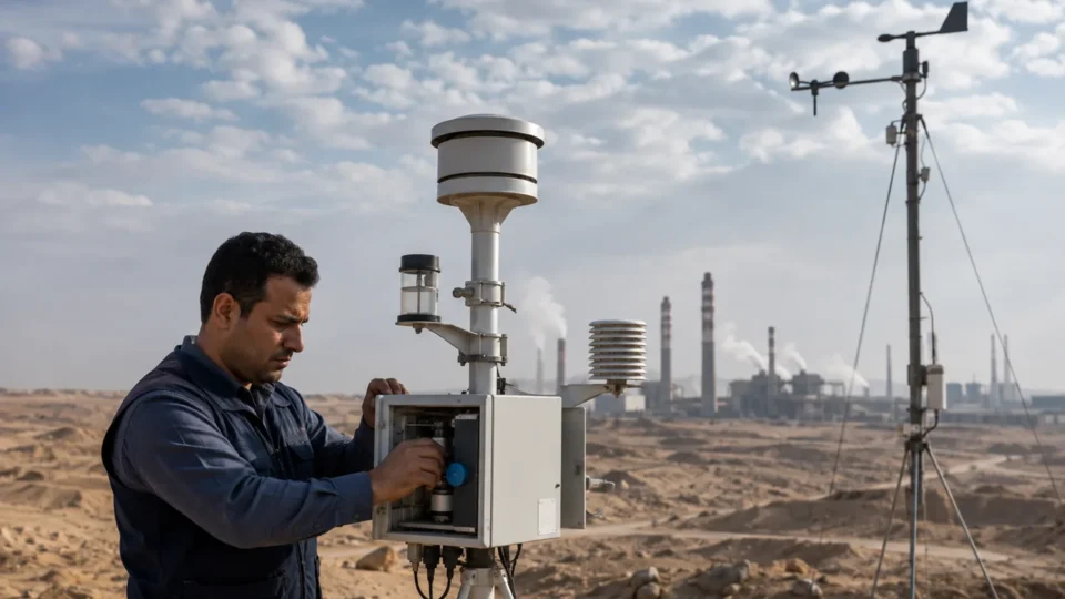
Air dispersion modelling estimates how emissions from defined sources may affect ambient concentrations at receptors. Its value depends on representative emissions, terrain and building treatment, meteorology, background concentrations and transparent model evaluation.
Use modelling to test a specific permit, design or risk question; do not treat colorful contour maps as the conclusion.
Who should use this guide?
Industrial developers, designers, permitting teams and operators evaluating stacks, process emissions or cumulative air quality.
A practical implementation sequence
- Define pollutants, averaging periods, scenarios and receptors.
- Quality-check stack, process and fugitive-emission inputs.
- Select representative meteorology, terrain and building data.
- Configure and run justified operating and sensitivity scenarios.
- Interpret results with background, uncertainty and mitigation options.
Data and evidence required
The conclusion becomes more reliable when boundaries, data sources, responsibilities and quality checks are documented from the start.
- Source coordinates, heights, flows and temperatures
- Emission rates and operating scenarios
- Meteorological and surface-characteristic data
- Terrain, buildings and receptor grids
- Background monitoring and model files
Common mistakes to avoid
- Using maximum emissions with inconsistent operating assumptions
- Ignoring building downwash or complex terrain
- Selecting weather data for convenience alone
- Reporting contours without receptor tables and limitations
Checklist before sign-off
- Input units and coordinates are verified
- Scenarios match realistic operations
- Model and options are justified
- Background and cumulative effects are addressed
- Files allow independent reproduction
This checklist does not replace project-specific legal or contractual advice. Confirm the applicable framework for every assignment.