EnviGlobe

EnviGlobe services

Modelling

Environmental modelling uses quantitative tools to test air dispersion, microclimate, thermal, and mechanical-system scenarios before decisions are finalized.

Answer first

Environmental modelling applies validated numerical tools to test how emissions, heat, noise and microclimate will behave before a design is fixed, so that stack heights, layouts, mitigation and operating limits are chosen on quantified evidence rather than assumption.

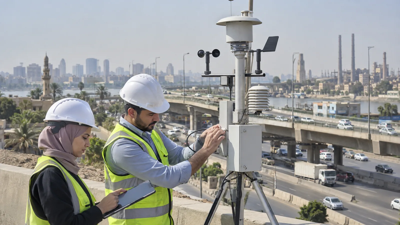
Air quality monitoring and environmental modelling fieldwork
Illustrative image only; it does not depict the actual project.

Scope of work

What we deliver

  • Air dispersion modelling from single and multiple sources, including point, area, volume and line sources.
  • Regulatory dispersion assessment against Egyptian ambient standards and, where required, international guideline values.
  • Flare and stack thermal radiation modelling, including heat waste and plume behaviour.
  • Cumulative impact modelling that combines project emissions with existing background and neighbouring sources.
  • Microclimate and outdoor thermal comfort modelling for masterplans and urban design optimisation.
  • Wind flow, pedestrian comfort and natural ventilation assessment for building and site layouts.
  • Optimum design of mechanical systems through modelling, including sizing and configuration sensitivity testing.
  • Odour and nuisance assessment where sensitive receptors sit close to an emitting activity.
  • Scenario and sensitivity analysis covering normal operation, upset conditions, and alternative layouts.

When to use it

  • An environmental impact assessment requires quantified predictions of ambient concentration at sensitive receptors.
  • A regulator or lender has questioned whether proposed stack parameters are adequate.
  • Several emission sources exist on one site and their combined effect needs to be understood.
  • A masterplan or building layout needs testing for thermal comfort, wind conditions or ventilation performance.
  • A complaint or monitoring exceedance needs to be traced back to a probable source.
  • Design alternatives are being compared and the environmental difference between them must be quantified.

Information needed

  • Source parameters: stack height and diameter, exit velocity, exit temperature, and emission rate by pollutant.
  • Representative meteorological data, including surface and upper air data for the modelling period.
  • Site and terrain data, building dimensions for downwash, and the surrounding land use.
  • Locations and nature of sensitive receptors such as housing, schools, hospitals and protected areas.
  • Background ambient concentrations from monitoring or a defensible published source.
  • Operating regime, including load cases, seasonal variation and abnormal or upset scenarios to be tested.

Decision outputs

  • Predicted ground level concentrations at defined receptors, compared against the applicable standards.
  • Contour plots and receptor tables that make the spatial pattern of impact legible to non-specialists.
  • A defensible basis for stack height, emission limits, buffer distances or layout changes.
  • Quantified comparison between design alternatives rather than a qualitative preference.
  • Documented model configuration, inputs and assumptions so the result can be reviewed and reproduced.
  • Clear identification of where predicted impact is driven by the project and where it is driven by background.

How we work

01

Define the question

Agree the pollutants, receptors, averaging periods, standards and scenarios the model has to address before any tool is selected.

02

Assemble and check inputs

Compile source, meteorological, terrain and background data, and test each input for completeness and plausibility.

03

Model and test

Run the base case and sensitivity scenarios, check for downwash and terrain effects, and interrogate results that look implausible.

04

Interpret and report

Compare against standards, separate project contribution from background, and state the limitations honestly alongside the conclusions.

Relevant sectors

Multi-sector experience.

  • Oil, gas and petrochemical facilities
  • Cement, steel and heavy manufacturing
  • Power generation and cogeneration
  • Urban masterplans and large mixed-use developments
  • Waste treatment, landfill and wastewater facilities
  • Ports, terminals and industrial zones

Frequently asked questions

When is dispersion modelling required rather than optional?

It is normally required where an activity has significant point-source emissions and an assessment must demonstrate compliance with ambient standards at sensitive receptors, which in practice covers most industrial environmental impact assessments. It also becomes necessary when a regulator, lender or reviewer challenges the adequacy of proposed stack parameters, when several sources combine on one site, or when an existing facility needs to justify its operating envelope after a complaint.

Which models do you use and why does the choice matter?

Model selection follows the problem: steady-state Gaussian models are appropriate for most near-field industrial sources over moderate terrain, while puff or advanced models suit long range transport, calm conditions, complex terrain or coastal recirculation. Microclimate and wind studies use computational fluid dynamics or dedicated urban climate tools. The choice is defensible only when it is justified against the physical situation, and we document that justification in the report.

What happens if good meteorological data is not available?

This is a common constraint in Egypt. Options include using the nearest representative station with a documented justification, using prognostic meteorological data, or commissioning site measurement where the assessment is high stakes. Whichever route is taken, the limitation must be stated and its effect tested through sensitivity analysis. A model run on unrepresentative meteorology can be confidently wrong, which is worse than being openly uncertain.

How accurate are the predicted concentrations?

Dispersion models predict statistical patterns rather than specific hours, and their accuracy depends far more on input quality than on the model itself. Emission rates and meteorology dominate the uncertainty. Regulatory practice manages this through conservative assumptions and comparison against percentile metrics rather than single values. We report results with their basis and limitations stated, and we test sensitivity to the inputs most likely to change the conclusion.

Can modelling be used to reduce mitigation cost?

Often, yes. Modelling frequently shows that an intuitive mitigation choice is not the binding constraint. Raising a stack, relocating a source, changing exit velocity, adjusting operating hours or repositioning a building can achieve compliance at a fraction of the cost of abatement equipment. The value of modelling early is exactly this: it tests options while they are still cheap to change, rather than confirming a decision that has already been procured.

What is microclimate modelling used for?

It assesses how a masterplan or building layout affects outdoor thermal comfort, wind conditions at pedestrian level, shading and natural ventilation. In a hot climate this is a design tool rather than a compliance exercise: it informs orientation, spacing, massing, shading, surface materials and planting. Tested early, it improves usability of outdoor space and reduces cooling demand; tested late, it can only document what has already been built.

How do you handle cumulative impact from neighbouring facilities?

Cumulative assessment requires background concentrations and, where relevant, explicit modelling of nearby sources. Background can come from monitoring data or a defensible published dataset, and neighbouring industrial sources may need to be modelled where their emissions are significant and their parameters are obtainable. The report should always separate project contribution from background, because mitigation decisions differ depending on which one drives the exceedance.

Discuss your project requirements with our team.

We will help define the right scope and next practical step.

Request a consultation